Verna Dunshee Guided Walk
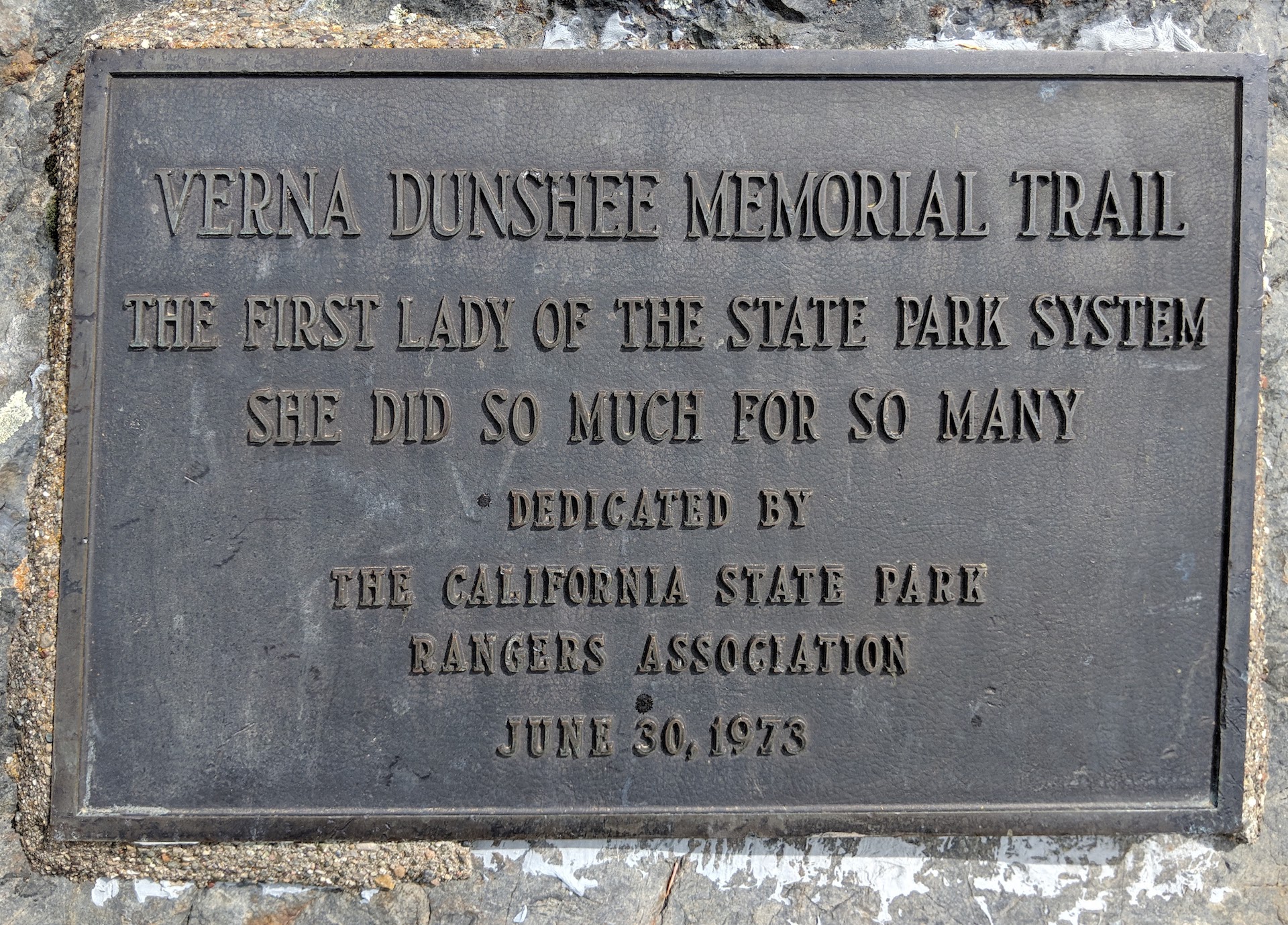
Welcome to the Mt. Tamalpais East Peak loop named for Verna Dunshee, a leading activist in preserving open space for parklands, primarily in Marin County. Look for numbered markers on the trail that correspond to descriptions in this guide.
|
START |
|---|
|
At the overlook to the right of the restroom |
|
DISTANCE |
|
0.7 miles; 30-60 minutes with stops |
|
DIRECTION |
|
Counterclockwise |
|
DIFFICULTY |
| Easy, wheelchair accessible |
#1 Tavern of Tamalpais
Before 1896 the primary way to get to East Peak was by hiking. From 1896 to 1930 this mountain top was served by the Mill Valley and Mt. Tamalpais Scenic Railway, renamed the Mt. Tamalpais and Muir Woods Railway, in 1913. They built a restaurant, hotel, and dance pavilion, a first-class destination for passengers called the Tavern of Tamalpais.
You are standing at the site of the tavern; the dance pavilion was across the track on the present parking lot. “The Crookedest Railroad in the World” began in Mill Valley, and climbed 8.2 miles through 281 turns in just under an hour. The average grade was 5 percent. Construction began in February 1896. It took 200 laborers six months, using picks, shovels and blasting powder to carve the grade up the mountain. The visual display in front of you locates points of interest to the south.
Virtually all the shrub growth on the hillside below you is chaparral, a Spanish term originally referring to scrubby evergreen oaks. A toyon tree is directly in front of you; it has bright red berries in winter. Behind you are bay and oak. As you proceed to stop 2, note the scrubby oaks along the trail. Leaf recognition by shape is very difficult but if the leaves are dark green top and bottom, it is probably interior live oak. If the leaf underneath is a dull light color green or golden, it is likely to be a canyon live oak. If the leaf is larger and a lighter green underneath, it is tanbark oak, technically not an oak although it does have acorns.
To proceed to stop 2, either take the steps to your left or return to the restroom and take the accessible trail to your left.
#2 Chaparral Plants
The chaparral plant community is made up of several small-leafed drought-resistant plants. Here manzanita is dominant. Manzanita is a red barked shrub with small, round green leaves. It blooms in the late winter, spring, and early summer. The bloom is white to pink and results normally in a small fruit resembling a tiny apple. The name manzanita is derived from a Spanish word meaning ”little apple.”
You can see a few chamise as well. A green shrub with tiny leaves, chamise blooms white in the spring, turns brown in the late summer, and becomes green again in the winter.
Yerba santa is a white flowering plant with relatively large green leaves that sometimes turn black with fungus.
Monkey flower is a medium-size plant with a yellow-orange flower that blooms in the spring and summer. It is common all over the mountain.
#3 Double Bow Knot
Stand to the left of the marker for the best spot to see the old railroad grade on the mountainside. Directly below is the midpoint of the 8.2-mile scenic railway and a proud engineering landmark they called the Double Bow Knot. It was also the Railroad’s emblem. The grade made a series of sharp turns to double back and parallel itself five times to gain 168 feet. The grade never exceeded 7% at any point on the entire route.
You can learn more at the Gravity Car Barn.
#4 Radar Dome
Stand either on the main trail or the viewing platform. Gazing from far right (behind you) to left, you see in turn the white radar dome originally installed by the U.S. Air Force for early warning purposes and now used by the FAA for domestic air traffic control, the Marin Headlands, most of which is included in the Golden Gate National Recreation Area (GGNRA), San Francisco, Alcatraz Island, the Bay Bridge, the Tiburon Peninsula, Angel Island, San Quentin, the Richmond- San Rafael Bridge, and some cities of central Marin.
Mt. Diablo looming to the east is 3,890 feet in elevation and 35 miles away. If the air is very clear, such as after a storm, you might get a glimpse of the snow-capped Sierra, 140 miles to the east. If you see soaring birds, they are likely to be turkey vultures. Note the reddish head.
Cross the wooden bridge and jutting rock and look for stop 5 on your left.
#5 Franciscan Assemblage
Mt. Tamalpais, like most of the Bay Area, is part of the Franciscan Assemblage, a mélange of rocks scraped off the top of a subducting (diving) Pacific Plate. Most of the material here was deposited on the ocean floor by volcanic action or sedimentation probably far to the south during the Jurassic and Cretaceous geologic periods. The exposed hard rock around the peak is an unusual metamorphic rock extremely resistant to weathering and containing fine-grained microscopic levels of rare minerals. It is the only place on the mountain where this precise type of rock occurs.
Note tanbark oak and interior live oak to the right of the trail and a huckleberry bush growing out of the rocks. Lichen abounds throughout the year on these rocks.
#6 Gardner Fire Lookout
The small building atop the peak above you is the Gardner fire lookout. In 1901, a small structure was built to serve as an observatory to signal the approach of incoming ships. Ship-to shore radio rendered that function obsolete.
In 1935, the Civilian Conservation Corps built the current building, which today functions as a lookout during the fire season, staffed by volunteers. You may see rock climbers scaling the large hard rocks above the trail near the peak. Continue about 40 feet to an area that was washed out by extremely heavy rains in 1982; such erosive action is natural. Below and to the right, fire roads traverse Blithedale and Corte Madera Ridges, part of the extensive Marin County Open Space District.
As you move to stop 7, look for chinquapin just above the trail, a shrub with medium size leaves light green on the top and tan underneath. The shrub bears a spiny fruit not unlike a chestnut with a small edible nut. Also look for Indian paintbrush, a low orange-red flower, and chaparral pea, a pale green smallleafed shrub with sharp spines and a beautiful pink flower. Both bloom in the spring. You will pass some steps and a trail on your right, leading to a promontory.
#7 Native Trees
Take a moment to view the central Marin towns and San Pablo Bay to the east.
As you move to stop 8, note the clump of medium-size trees mostly just below the trail. This group includes canyon live oak, bay, and California nutmeg (not the spice). The nutmeg looks somewhat like a Douglas fir, but the foliage is a darker green and the needles are longer and very sharp.
#8 Water Reservoirs
To the north is Mt. St. Helena, 4,300 feet high and 50 miles away. Look down to see two of the man-made Marin Municipal Water District (MMWD) lakes. The smaller of the two, Lake Lagunitas, was finished in 1873, while the larger Bon Tempe was completed in 1949. These and five other lakes provide 65-75% of MMWD’s water resources, filled by runoff from its 21,000-acre watershed. District lands share common boundaries with Mt. Tamalpais State Park, GGNRA, Marin County Open Space, and private lands. Trails and fire roads open to the public crisscross the entire area.
#9 San Andreas Fault
To your left on the horizon, note two parallel ridges running north-south direction. The far one is Inverness Ridge in Point Reyes National Seashore; the near one is Bolinas Ridge. Between the two ridges lies the San Andreas Fault. The Pacific Plate to the West of the fault is apparently no longer diving but is moving to the northwest at a rate of nearly two inches per year. This movement has been going on for millions of years, bringing granite from Southern California to Point Reyes. There is little or no granite on this side of the fault line.
The bare hill below and to the right is aptly named Bald Hill and the hill to its left, only partially bare, is Pilot Knob.
#10 Gravity Car Barn
The antennas on the closer peaks to the west are used for government and commercial activities. Below you is a mixed forest of Douglas fir, redwood, bay, and oak. Just beyond the chaparral below you and to the left you can spot the red-barked madrone. Huckleberry bushes abound, as does manzanita. Observe bush lupine blooming in the spring and golden fleece blooming in the fall.
As you return to the starting point, you might see big black birds – these are not crows but ravens.
The Gravity Car Barn on your left houses railroad memorabilia and a replica of a gravity car that took passengers coasting down the mountain with only a brakeman at the controls. We invite you to go in and look around; it is normally open on weekends, 12-4 PM, thanks to volunteers. Also, drop into the Visitor Center just below the touch model of Mt. Tam. The touch model is also a functioning water model of the mountain. Poor water down it and see the streams flow! There you can get more information on flowers, shrubs, trees, history, and geology, as well as maps of hiking trails plus clothing and souvenirs. It is normally staffed 11-4 with volunteers.
We hope you’ve enjoyed your self-guided tour. Come back soon for another look – the flora is ever changing.
Mar 1995, rev Mar 2009 / Sep 2013 / Nov. 2014 / Feb 2022
Verna Dunshee Trail Self-Guided Walk
Accessible
Made in Partnership with Mt. Tamalpais State Park
415-388-2070
www.parks.ca.gov/mttam